

Date: Sunday 24th August 2014
Distance: 16.5km
Ascent: 1550m
With an unfortunate and spectacularly ill-timed back injury reducing “us” to “me” it was a question of what I wanted to do.
Leaving Hazel with the car and Harris to play with I set off on the well made track from Urgha to Reinigeadal. Lots of parking berths – the Harris Community trust seems to have been constructing camper van berths.
Although a chilly morning it was quickly hot in the sun heading uphill.
Looking back down track:
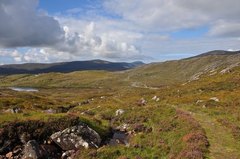
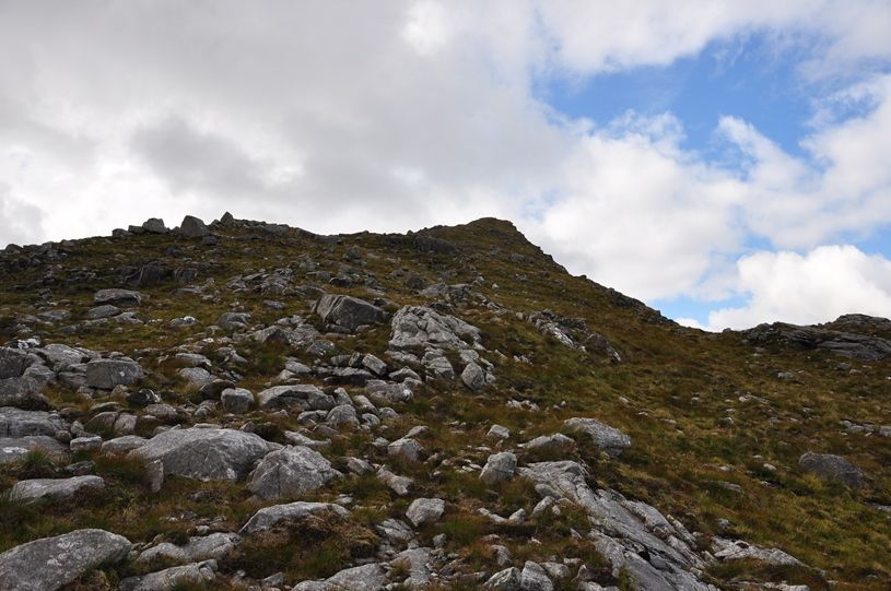
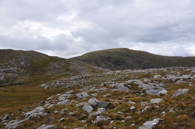
The track makes for quick progress up to the 300m high point where Todun comes into view.
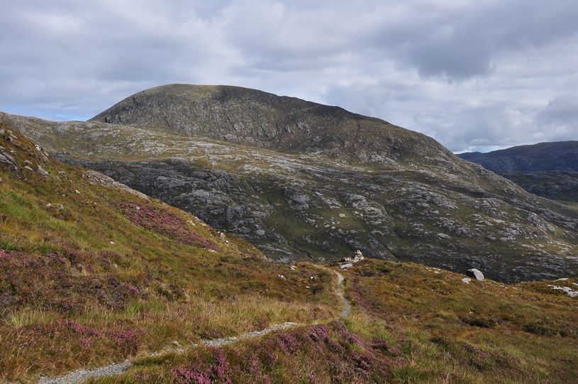
Todun:
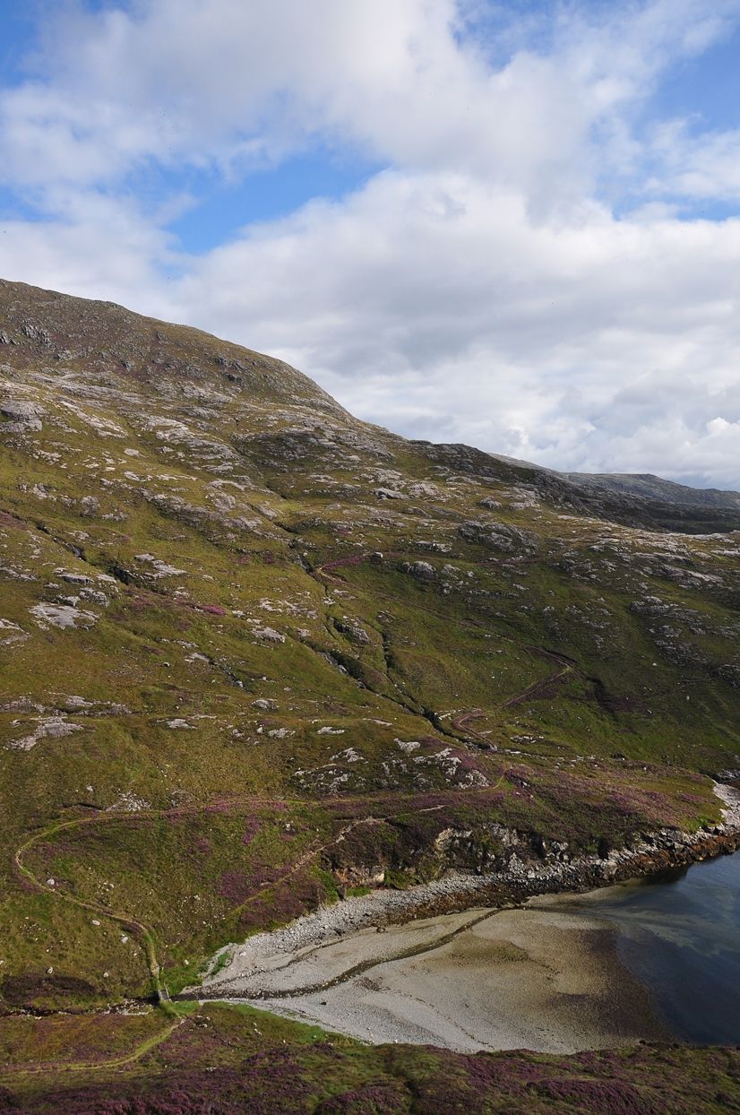
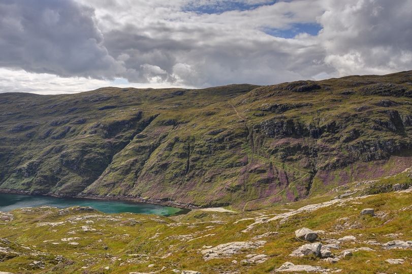
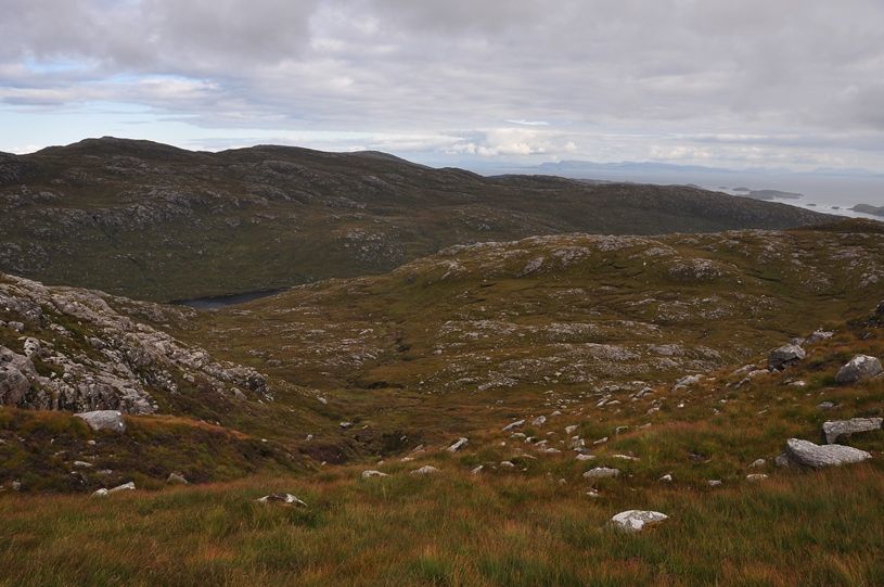
There is then the slight matter of a drop to sea-level at Loch Trolamaraig down a great switchback track.
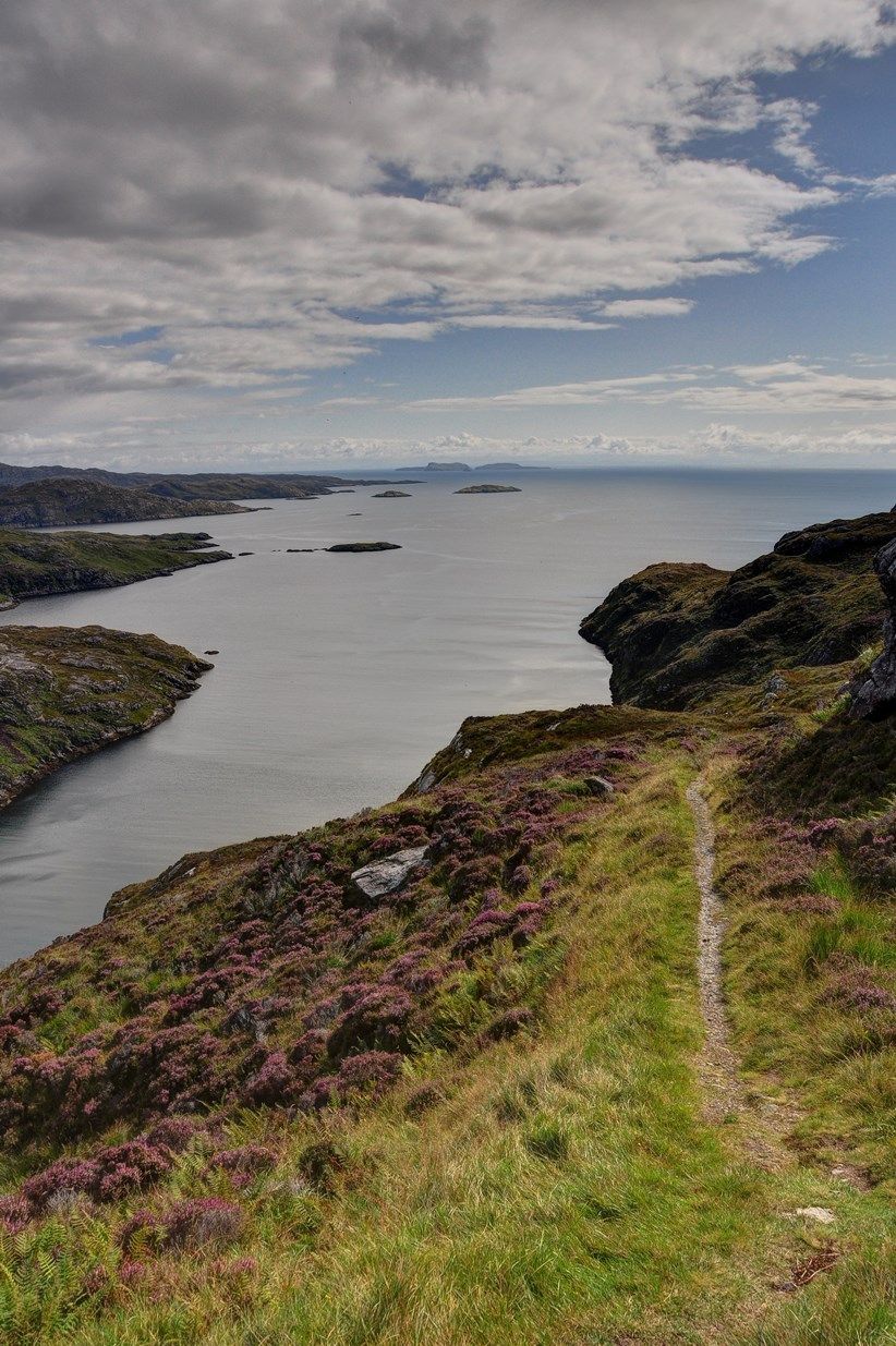
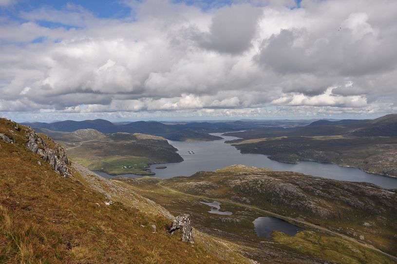
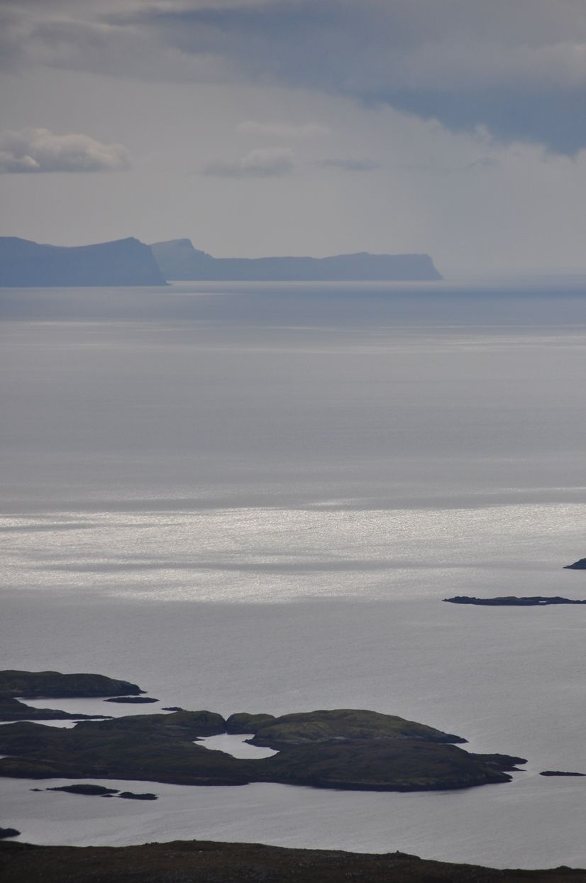
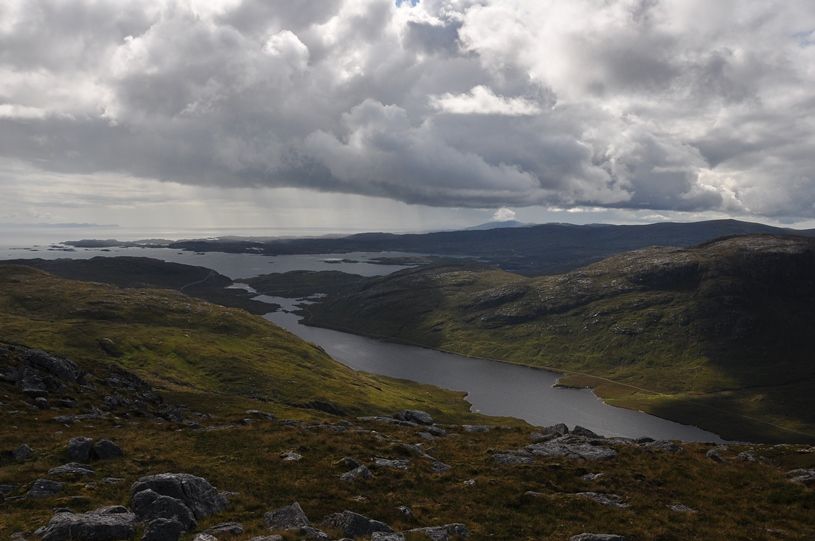
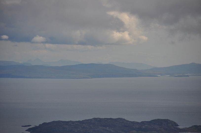
Loch Trolamaraig and the Shiants:

The continuing track on the far side
The inlet of the loch here was lovely – quite a number of porpoises in the water made it difficult to carry on.

Headed uphill on the track initially gaining about 100m. The switchbacks already descended were standing out in the heather.
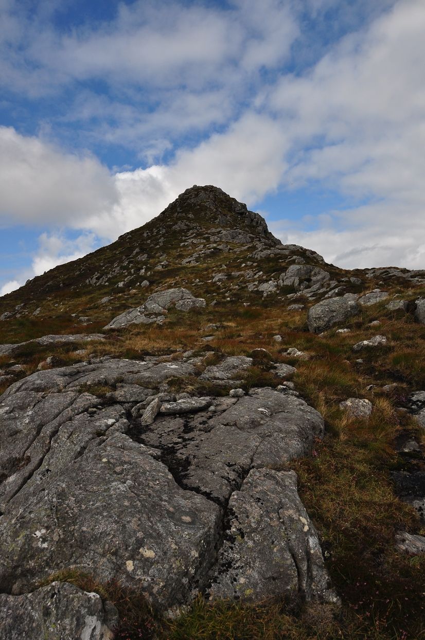
When the track reached its high point I simply struck off north to pick up the south ridge of Todun. Views opened up behind across the loch to the Trotternish.
There was about 100m of steep ascent needing a scramble or two before the ridge line was achieved.
From there an excellent crest to wander up.
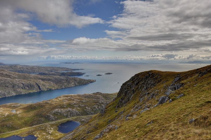
Broadens a bit at the top with views of Loch Shiphort.
Loch Shiphort and on to Lewis:
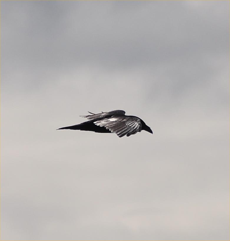
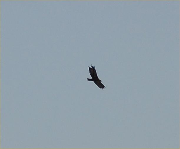
Cool at the summit but still midged. Had a bite to eat and watched a pair of ravens watching me.
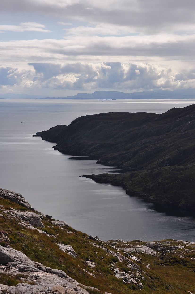
The mainland was visible although a bit obscured by cloud, Skye looked very close and St Kilda was visible.
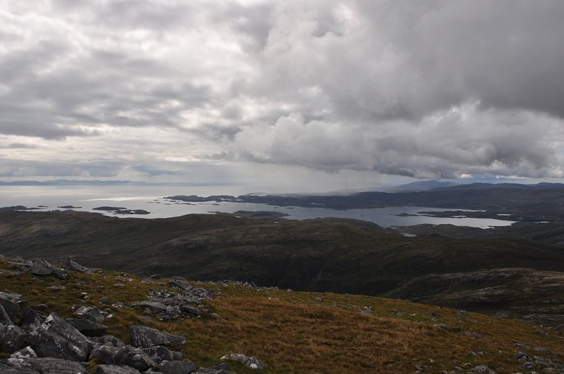
Out past the Shiants:
To the south there were showers brewing all day – although the Uists were visible intermittently.
Biod an Athair and Neist Point:
Quite a few hares seen through the day – eagle fodder.
Headed north along the Todun ridge for a few hundred metres before turning east to cross over the northern end of An Reithe.
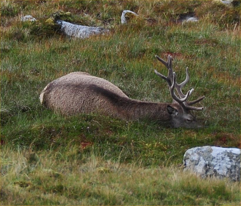
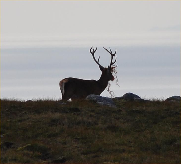
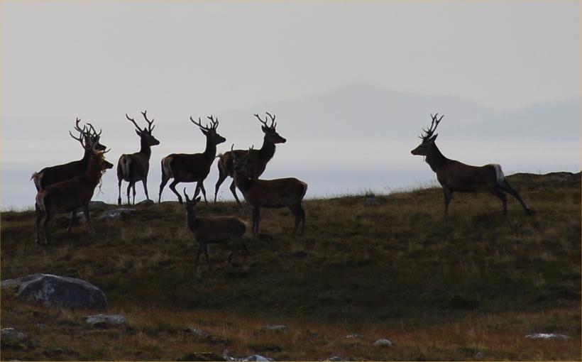
A few stags around gathering their energy.
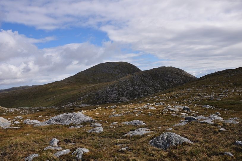
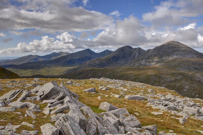
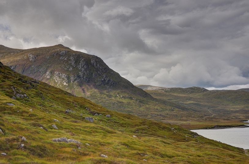
Strathabhal with Sgaoth Aird and Clisham. Simply headed up the band in the middle:

Wandered up Strathabhal – saw a few more stags. Some with bling.
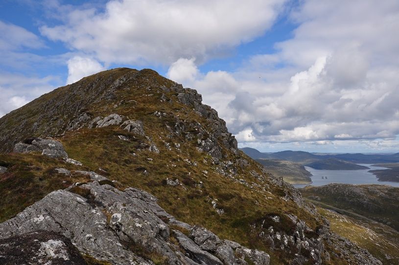
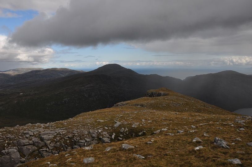
Looking back across An Reithe and Todun:
Lochan Lacasdail:
Sgaoth Aird and Clisham:
Sgaoth Aird:

Hadn’t quite been sure at the start of the day whether to go up Sgaoth Aird or not – the drop off Strathabhal comes a long way back towards sea level.
In the event I headed up – too nice a day to miss. Headed NE off Strathabhal to pick up the Gleann Lacasdail path and then at only 50m elevation cut uphill to ascend Sron an Toistear.
Not my best route choice in truth – pretty steep between 150m and 300m. Given slippy marshy underfoot conditions I wouldn’t have descended this way. Once 300m was achieved it was nice walking again.
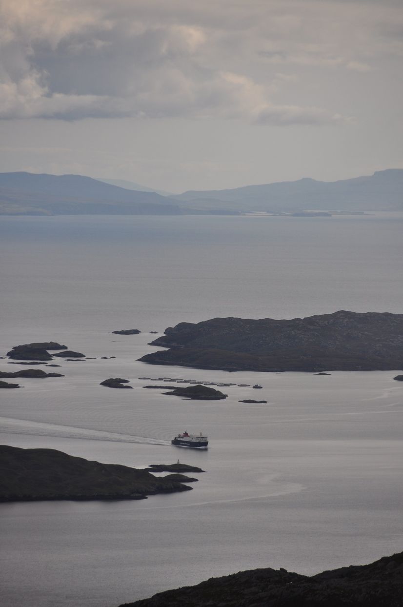
The Uig-Tarbert ferry arriving:
The top of the Sron is a crenelated cliff line.
The view to Lewis.
Crossing over the summit to its NE end I sat and had some more to eat while enjoying the view of Clisham.
North to Lewis:

Rum:
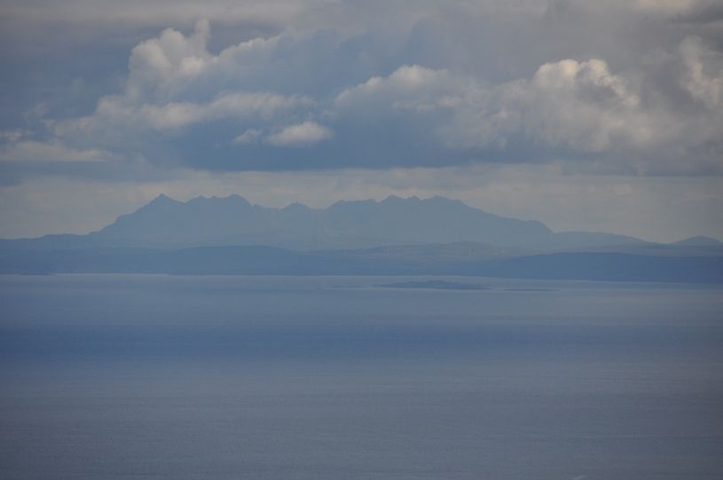
Skye Cuillin:
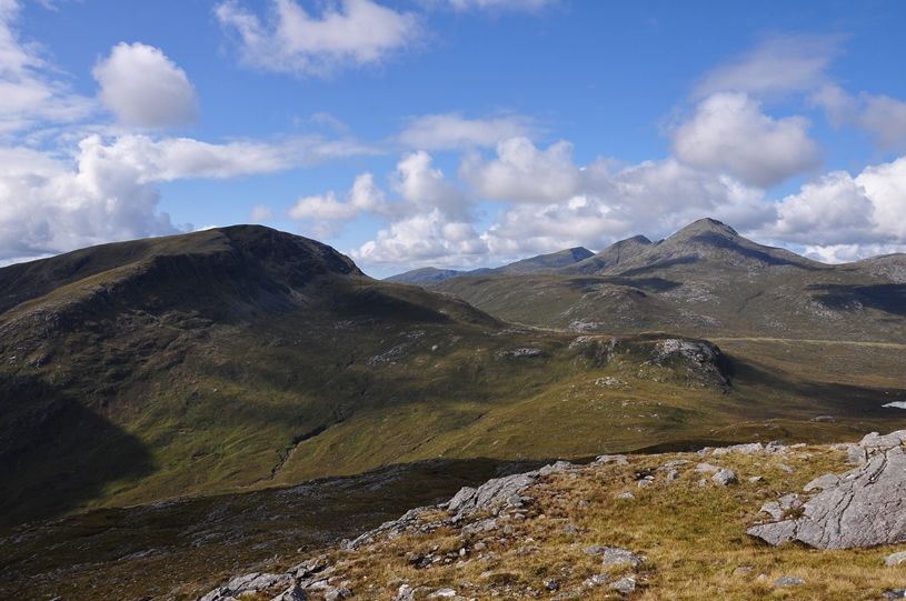
Across Giolabhal Ghlas to Beinn Dubh:

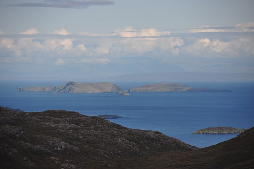
Shiants with Rubha Reidhe behind:
Given a taxi at the end of a phone I’d wondered about dropping from Bealach Garbh down the Skeudale River to the road. However with clear views over the sea it seemed criminal to bog-trot through a glen. Headed south over Goromul instead.
The high terrain was excellent and it was breath-taking to see Skye and the mainland so clearly. A soft grassy strip gave easy walking past the 438m point to Goromul.
Uig ferry heading for Glamaig and Blaven.

Trotternish:

Shiants with Beinn GHobhlach to the left:

Followed the Abhainn Torascleit down to the loch – a little rougher in the lower reaches but still easy enough.
Looking at Sron an Toistear – need another plan for my return with Hazel.
Splendid pair of hills – Harris looking fantastic.
